


AQUA Project: Strengthening the climate resilience of water management in the Adriatic-Ionian area
Goals
The AQUA project, funded by the Interreg IPA ADRION Programme 2021–2027, aims to strengthen the climate resilience of water utilities and water-management authorities across the Adriatic-Ionian area, in response to growing pressures on surface-water and groundwater resources driven by rising temperatures, changing precipitation patterns, droughts and extreme rainfall events.
AQUA brings together partners from Italy, Slovenia, Greece, Albania, Montenegro and Serbia, combining climate information, monitoring data, modelling activities and pilot actions to support more proactive, evidence-based water management, with the aim of making the information produced directly accessible and usable by water authorities.
Carried out activities
AQUA activities combine climate science, monitoring, modelling and decision support within a common transnational framework. The main activities include:
- Development of harmonised climate and impact indicators for the Adriatic-Ionian area;
- Creation and progressive population of the AQUA Data Repository on Zenodo;
- Collection and integration of existing monitoring data, with strengthening of monitoring systems in the pilot areas;
- Development of pilot-specific hydrological, geohydrological and water-management analyses;
- Implementation of Decision Support Tools and scenario-based assessments addressing local water-management needs;
Knowledge-exchange, testing and capacity-building activities to transfer AQUA solutions to water authorities.
Tools available on Dataclime
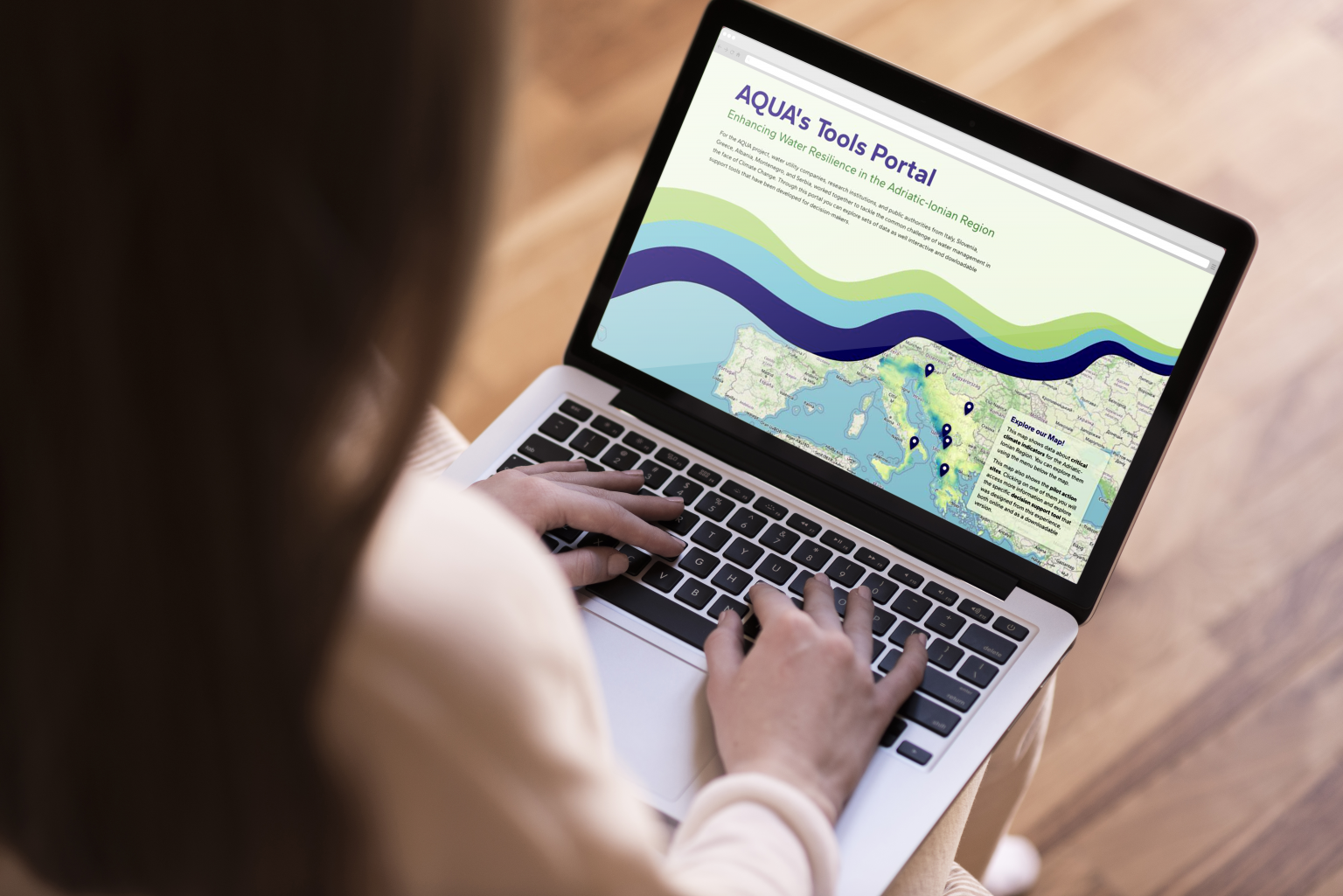
DATACLIME hosts AQUA’s dedicated information portal (accessible at this link), providing a common digital access point to climate information, pilot-specific analyses, datasets, documentation and decision-support resources.
The main page works as an interactive climate atlas for the Adriatic-Ionian area. Through a map-based interface, users can explore harmonised climate indicators by selecting dataset, indicator, temporal aggregation, climate scenario and future time horizon. The viewer includes information on temperature, precipitation, drought and evaporation, combining reanalysis-based reference climate conditions with future climate-change projections. The datasets displayed are linked to the AQUA Zenodo repository, where users can access the corresponding data, metadata and technical documentation.
The six AQUA pilot areas can be selected directly from the map. Each pilot gives access to a dedicated section presenting the local water-management context and the results of the case-study Decision Support Tool, through a navigable narrative combining maps, graphs, indicators, explanatory information and scenario comparisons. Where available, the pilot pages also connect users to complementary tools, dashboards and resources developed by AQUA partners.
Learn more
Project website: https://www.aqua.interreg-ipa-adrion.eu
Tools Portal: https://aqua.dataclime.com
AQUA Data Repository: https://zenodo.org/communities/aqua